- Data
New Plantations Map Sheds Light on Complexities of Deforestation
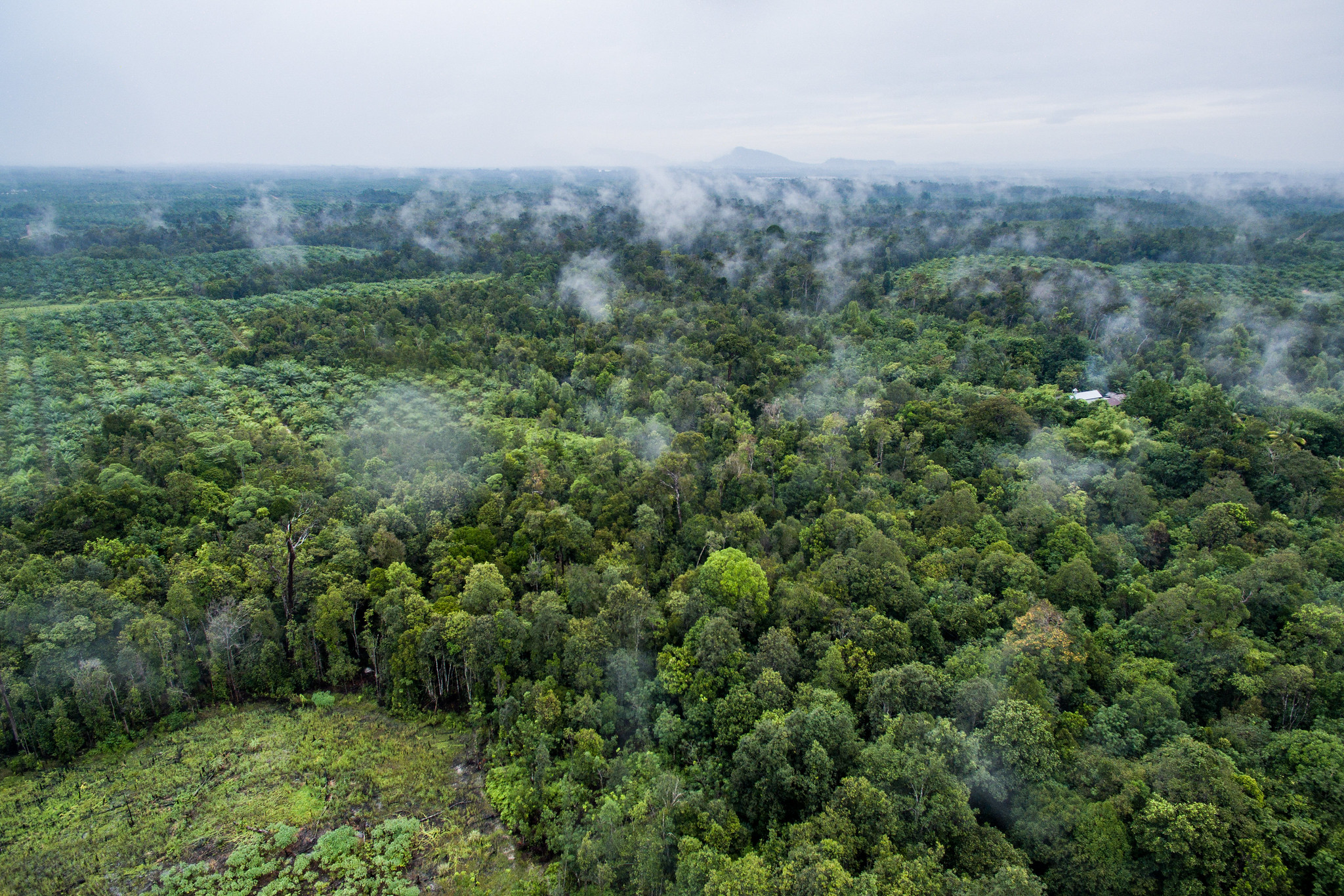
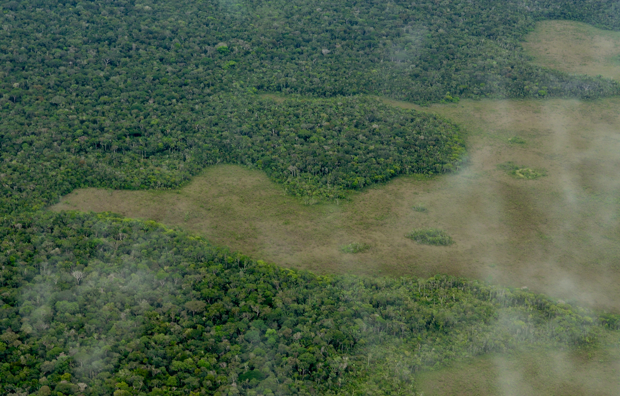
Many of us think of forests as pristine wilderness, minimally disturbed by humans. But today’s forests are far more complex. New data available on Global Forest Watch (GFW) enables us to understand another dimension of modern forests — trees planted and managed by humans. Though far from pristine natural forests, planted trees play many critical roles for society, from wood production to erosion protection to carbon storage.
A longstanding limitation of GFW’s core tree cover data is that it does not distinguish between different types of forests, with intact primary forests on one end of the spectrum and monoculture tree plantations on the other. But the new Spatial Database of Planted Trees (SDPT), now on GFW, shows exactly where and what type of planted trees exist around the world. This data allows us to refine our understanding of global tree cover loss trends. Using the SDPT, we can calculate that in 2017 only six percent of tropical tree cover loss, or 0.9 million hectares, occurred in tree plantations, most likely as a result of planned tree harvests. We can therefore deduce that the clear majority of tree cover loss occurred in various forms of natural forest.
However, these ratios of loss can look very different around the world. In Brazil, for example, only three percent of all tree cover loss in 2017 occurred in planted forests. In contrast, planted forests accounted for 55 percent of all tree cover loss in South Africa, where monoculture plantations of fast-growing pine and eucalyptus have taken pressure off natural forests. Trees within South Africa’s plantations are converted to products like pulp and wood chips and exported to countries around the world.
These nuances are becoming increasingly critical as the world’s forests confront a policy paradox: the international community has set ambitious targets to end deforestation, while a growing global population is demanding more wood products. Tree farms will play an important role in meeting this demand. However, if large expanses of natural forests are cleared to make way for new plantations, conservation objectives could be undermined. The impacts of plantation expansion on carbon, biodiversity or water must be evaluated site by site. The SDPT provides a new tool to monitor the role and impacts of planted forests across landscapes.
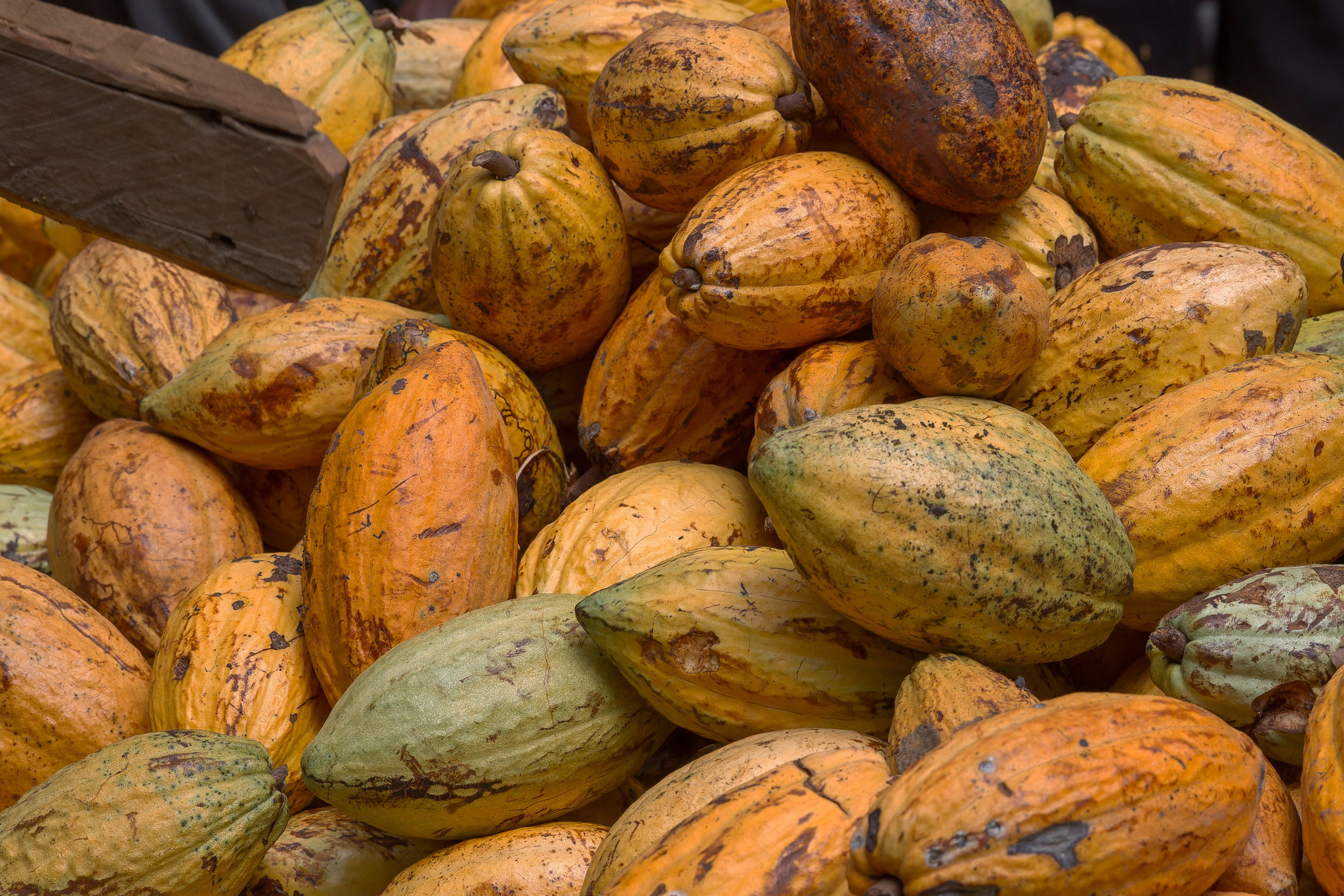
The category of “planted trees” in the SDPT includes forest plantations of native or introduced species, established through deliberate human planting or seeding. Sometimes called “tree farms,” these forests infuse the global economy with a constant stream of lumber for construction, pulp for paper and fuel wood for energy. The data set also includes agricultural tree crops like oil palm plantations, avocado farms, apple orchards and even Christmas tree farms.
This kind of data on planted trees has long been incomplete. Where available, plantation data comes in the form of national statistics published by the Food and Agriculture Organization (FAO). Without data showing the boundaries of where natural forests end and planted trees begin, the picture remains blurry.
GFW compiled and harmonized spatially explicit data on planted trees
from 82 countries and a range of sources including national governments, non-governmental organizations and independent researchers. With the help of more than 50 collaborators from around the world, GFW was able to map 173 million hectares of planted forest, or five percent of the world’s tree cover as of the year 2010, as well as an additional 50 million hectares of key agricultural tree crops like oil palm. While comprehensive for the tropics, the data lacks information from Canada and Russia, making it harder to get a full picture in boreal forests. Additional information about sources, attributes and accuracy of the data is documented in the SDPT’s technical note.
The SDPT will help the forest monitoring community better track the extent to which planted trees may be replacing natural forests and monitor the role and impact of planted forests across diverse landscapes. Transparent information on plantations is particularly relevant in the context of REDD+, which promotes climate change mitigation through the conservation of natural forests and includes a safeguard to prevent countries from clearcutting forests to replace them with industrial tree plantations. Differentiating plantations and natural forests on a map enables us to better understand the implications for global climate, biodiversity and water systems and to trace progress towards international policy commitments. In the future, new or updated sources will be incorporated into the plantations data set as emerging technology allows us to improve the accuracy and scope of our data.
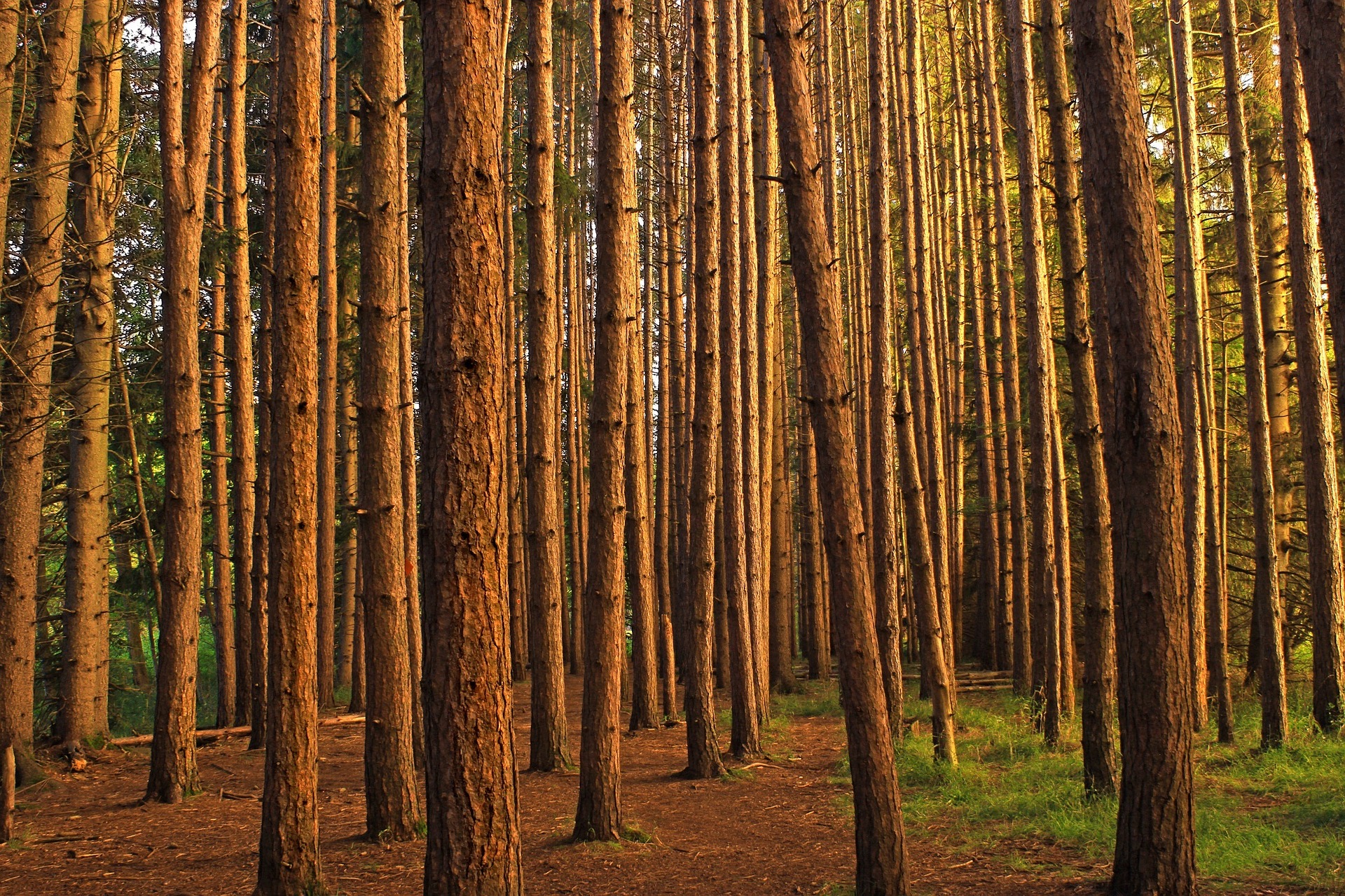
BANNER PHOTO: Red pine plantation. Photo by Skeeze/Pixabay.
The SDPT compiles data from a variety of sources. If you have spatial data on plantations you think should be incorporated into the data set, please reply here.
Explore More Articles
Explore More Articles


