From Global to Local: Tailoring Forest Monitoring in Madagascar with Global Forest Watch Data

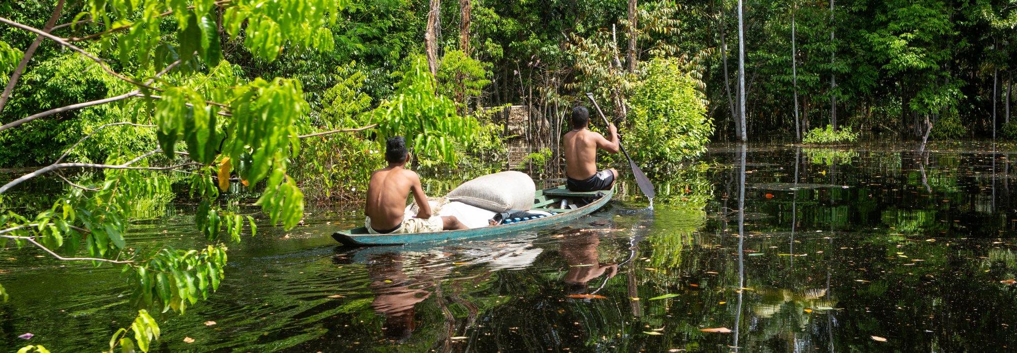
Ring tailed lemur
-Mathias Appel
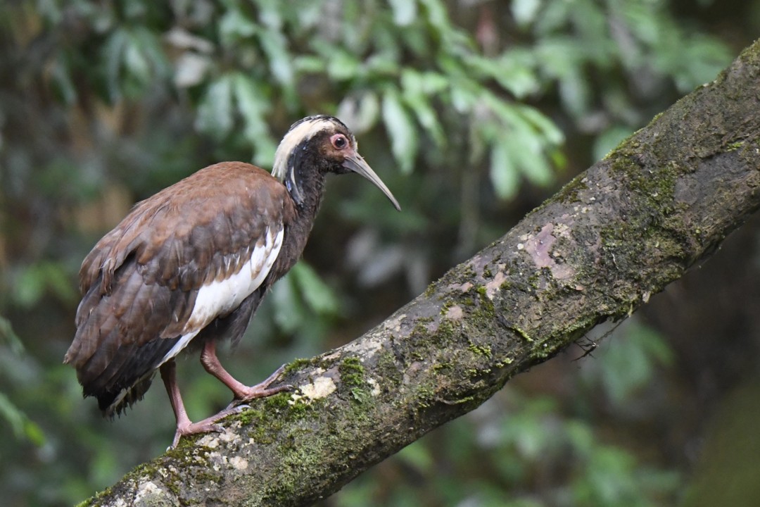
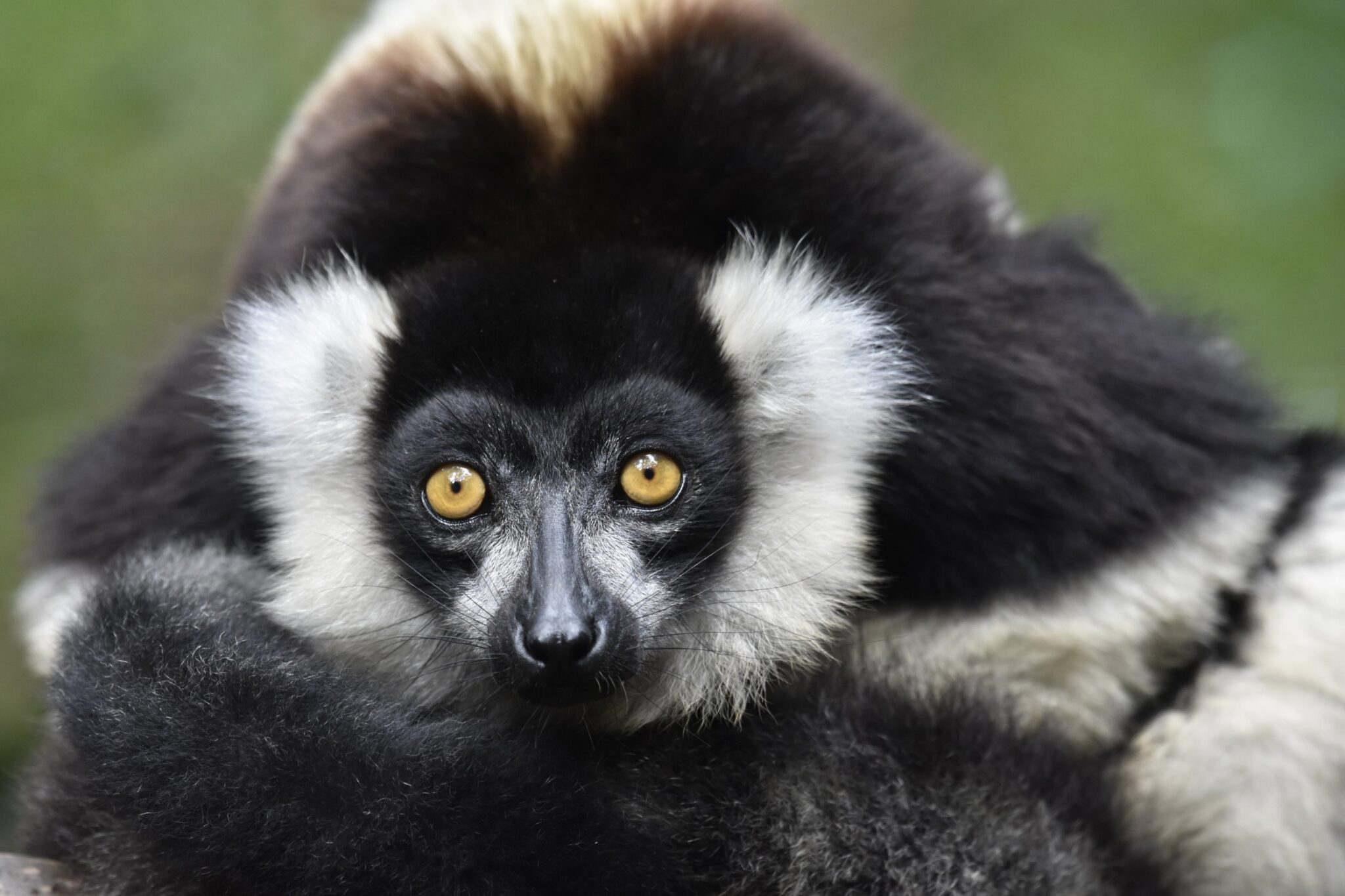
Understanding deforestation in Madagascar is incredibly important for protecting the country’s extraordinary biodiversity. Over 80% of the species are endemic, found nowhere else on Earth. This biodiversity underpins the ecosystem services that sustain daily life across the island — from clean water and fertile soils to climate regulation and cultural identity. Accurate, independent monitoring of Madagascar’s natural forests helps to prioritize conservation actions, safeguard these services and ensure that all people living in Madagascar continue to benefit from the natural capital essential to their livelihoods, climate adaptation and sustainable future.
But until recently, up-to-date information on deforestation in Madagascar was limited. Global Forest Watch (GFW) offers transparent tools designed to monitor forests consistently everywhere. GFW’s global tree cover loss data and tree canopy density maps measure annual changes and extent and are incredibly valuable for providing frequently updated, comparable and consistent estimates across the world.
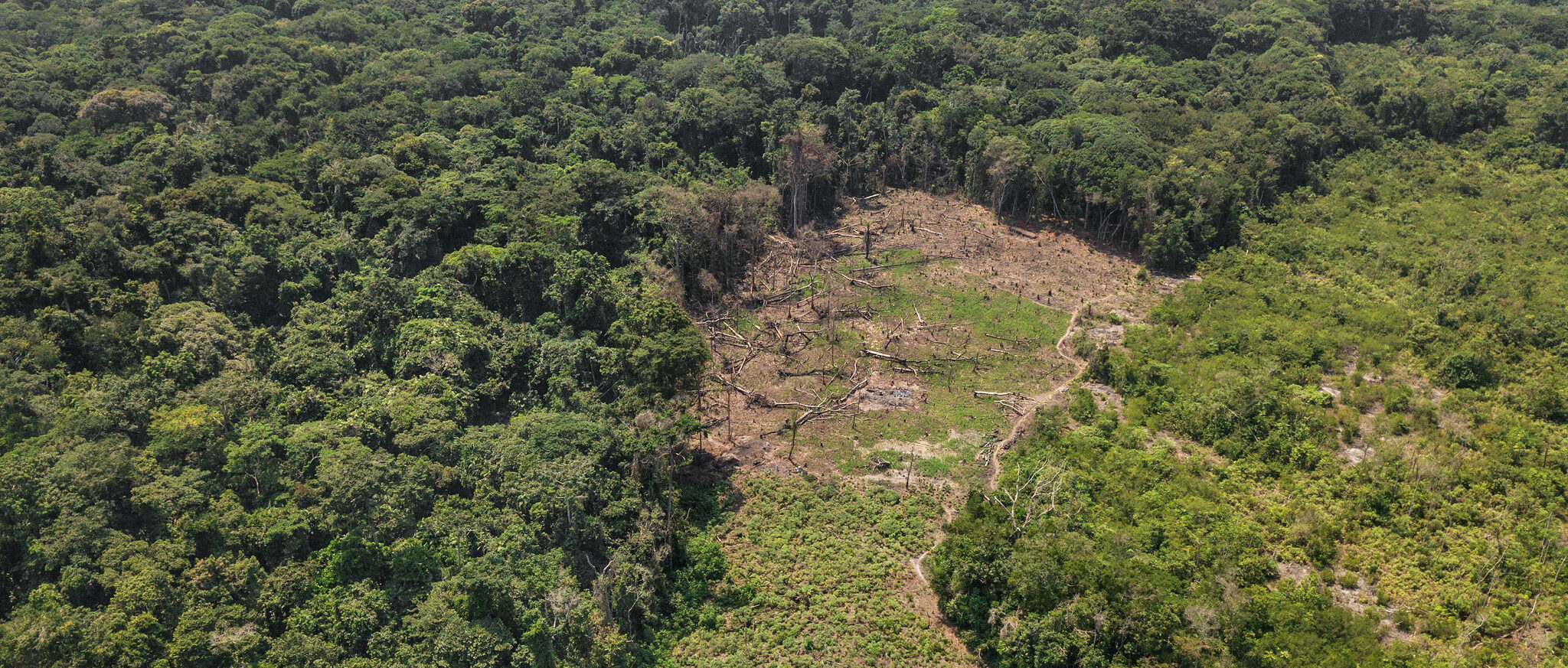
However, they do not match each local definition and context that may be crucial for planning and conservation. For example, GFW’s tree cover loss data shows loss of all tree cover, including tree loss in agriculture areas, tree plantations and other non-natural forests. As such, this data must be filtered to identify deforestation.
In 2024, the research team from WRI Madagascar developed an approach to bridge the gap between global tree cover loss data and deforestation within Madagascar’s natural forests to develop an actionable deforestation estimate for national planning, reporting and conservation decision-making.
Adapting GFW data for Madagascar
To assess deforestation in Madagascar, we used two key global data sets: tree canopy density (TCD), which shows the percentage of canopy cover in each 30-meter pixel in the year 2000, and annual tree cover loss, which tracks where those pixels lost canopy cover in subsequent years.
The goal was to develop a methodology for tailoring global tree cover loss data sets to detect loss within Madagascar’s natural forests. However, the TCD and tree cover loss data include areas of tree cover that do not meet Madagascar’s ecological definitions of forest, like tree plantations. This is particularly important in Madagascar, where vast areas are dominated by Ravenala species, or traveler’s palms — not true palms but relatives of bananas — which are endemic to Madagascar but often form stands limited to one species after clearing, and are typically poor in biodiversity. These areas are frequently classified as tree cover in satellite data, though they lack the structure, species richness and ecological function of natural forests.
As such, we focused our analysis on natural forests, with natural forest loss as a proxy for deforestation. We overlaid the TCD and tree cover loss data onto a nationally validated natural forest map for Madagascar for the year 2000 to provide an actionable deforestation estimate. This may slightly overestimate deforestation (defined as permanent change from forest to other land uses) since natural forest loss can include temporary disturbances such as wildfire or vegetation clearing for shifting cultivation. However, ecological recovery in these forests can be extremely slow, meaning natural forest loss estimates provide a meaningful proxy for the purposes of national planning, reporting and conservation decision-making.
Identifying loss in Madagascar’s natural forests
GFW allows users to select their own TCD threshold to map their forest area; however, for global consistency, GFW typically uses a standard TCD threshold — generally 30% tree cover density — which can exclude many naturally more open forest types. For example, in Madagascar, applying TCD >30% misses large areas of dry and spiny forests. As a result, no loss is detected there simply because those areas are not counted as forest to begin with.
Therefore, instead of assigning a single threshold per forest type, our approach applies locally adapted TCD thresholds to each pixel in the 2000 natural forest map of Madagascar so that deforestation can be tracked more accurately across all forest types. For each non-contiguous forest parcel based on its known extent in 2000, we identified the most appropriate TCD threshold. Learn more here about how these thresholds were calibrated. For large forest blocks, we split them into smaller, ecologically meaningful units to improve TCD accuracy. This subdivision was done as objectively as possible, using both the Vegetation Atlas (validated by the government) and topographic relief, since elevation and terrain strongly influence forest structure.
Once these nationally adapted TCD thresholds were assigned at a pixel level across all natural forests, we combined them with GFW’s annual tree cover loss data to assess deforestation in every forest parcel, across all forest types and all regions of Madagascar. This produced an ecologically grounded monitoring system capable of informing both national reporting and local planning, and one that can be adapted and replicated in other countries.
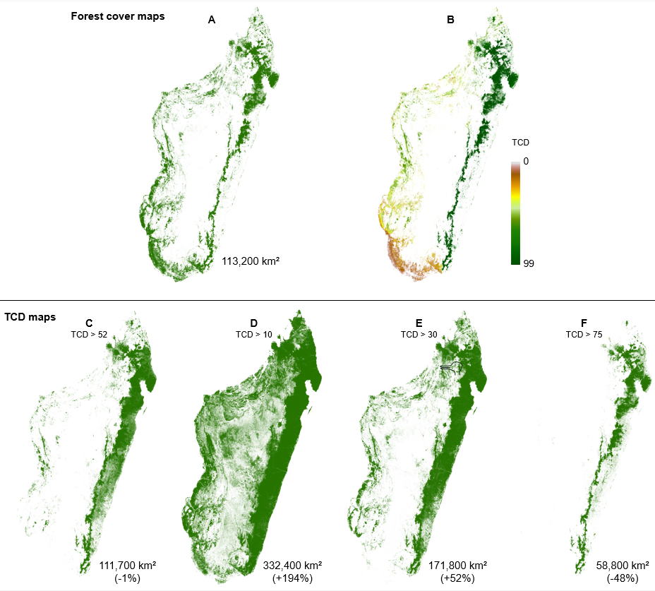
Natural forest cover in Madagascar (year 2000) and its relationship to tree canopy density (TCD) thresholds. A: Independent baseline natural forest cover for 2000; B: Same forest cover map as A with pixel-level TCD values assigned; C: Tree cover extent after applying the optimal TCD threshold producing an area estimate closest to the true natural forest extent; D–F: Tree cover area when applying standard TCD thresholds, with total area estimates showing either overestimation or underestimation of tree cover. These maps also reveal major geographic misalignment— particularly in dry forest regions — highlighting the need for locally adapted thresholds.
This map now serves as a robust baseline for monitoring change. By overlaying annual tree cover loss on top of these forest pixels, we can consistently estimate deforestation across the country for any year — whether nationally, by region, or within protected areas.
This approach gives Madagascar a more ecologically meaningful measure of forest loss than the conventional global method. In 2024, using our method, we estimated a national deforestation total of 117,600 hectares — nearly half the figure produced by the global 30% threshold approach. This information supports national reporting obligations, aligns with local forest definitions and strengthens conservation efforts targeting habitats critical to Madagascar’s unique biodiversity.
How Madagascar’s deforestation estimates support decision-making
Our approach makes use of the GFW’s freely available independent global data while adapting it to local realities.
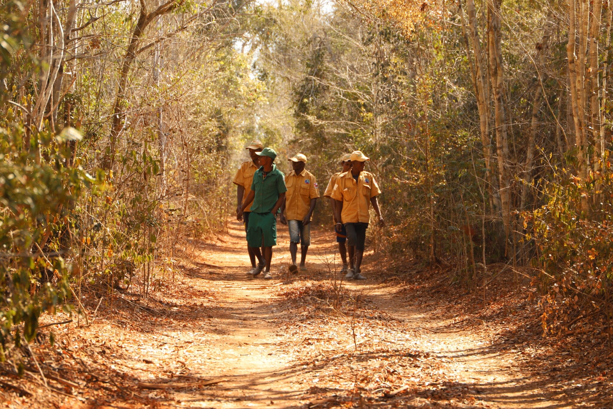
Locally tailored information means that it is more suitable for use in regions, districts and communes — administrative units with their own budgets, plans and policies. In Madagascar, stakeholders responsible for these tasks can include regional and district heads appointed by the central government, and mayors who are elected at the commune levels, as well as VOIs (Vondron’Olona Ifotony) — local associations of villages and hamlets formally recognized as stewards of natural resources — and in the case of privately owned land, corporate entities and private individuals.
For all stakeholders, our monitoring approach provides relevant information. Across all landscapes and land statuses, one of the key use cases is for conservation of protected areas (e.g., Madagascar National Parks), VOIs and other zones critical for threatened endemic biodiversity. Tracking deforestation within both Protected Area boundaries and VOI-managed zones can offer powerful insights to enhance transparency, accountability and targeted support for locally grounded conservation efforts.
Because thresholds are locally adapted, this approach helps build trust in the results by aligning with what people see on the ground. It reduces the risk of misinterpreting features such as Ravenala stands, heavily degraded forests or other non-forest areas as “forest,” which can otherwise misdirect conservation or restoration resources. By clearly distinguishing natural forests of high ecological value, the data avoids misunderstandings and supports more accountable, effective decision-making. It allows stakeholders to identify priority areas and plan targeted interventions, including for restoration efforts, by helping define where forest losses have occurred and where restoration efforts should be focused and monitored.
Additionally, Madagascar can now better prioritize conservation of habitats critical for endemic species, integrate biodiversity goals into development planning and ensure long-term sustainability of its forest resources.
Adapting our approach for other countries and regions
This method can be tested and adapted for use in other areas. National or local data sets of priority locations — such as natural forest maps, forest concessions, biodiversity corridors or community managed zones — can be overlaid with tree cover loss data to enable more accurate monitoring of deforestation across administrative and ecological zones. Tools such as the Forest Atlases — online platforms that help countries better manage their forest resources by combining government data with the latest forest monitoring technology — can also support these efforts. In addition, the contextual data sets such as intact forest maps, and natural forest maps on GFW can also be explored, and can reduce the effort required to process data, while other baselines such as tree height, biomass or strand structure can help identify areas likely to contain older stands with higher carbon stocks.
There are some limitations to this approach. The accuracy of annual deforestation estimates is in part determined by accuracy of the original forest map and the TCD thresholds assigned to each forested pixel. Additionally, this pixel-level approach requires significant computational resources, which can present challenges for large countries. Despite these constraints, the methodology remains robust.
While this work is specific to Madagascar, the same approach can be applied elsewhere. By starting with a nationally validated forest baseline, overlaying pixel-level TCD data and then applying annual tree cover loss, countries can adapt global data sets to their own ecological and administrative realities. This turns global monitoring tools into practical systems for national reporting, planning and conservation — ensuring that data is not only globally consistent, but also locally meaningful.
As satellite imagery and land cover data sets continue to improve, and as national definitions of forest types are refined, the precision and policy relevance of this approach will grow, offering countries a scalable, transparent way to monitor deforestation across ecological and administrative units.
What’s next for deforestation analysis in Madagascar?
In the future, we plan to strengthen this approach in Madagascar by refining the natural forest map and expanding to include other relevant land cover types. Our current baseline for both the forest cover map and TCDs is the year 2000. While this early baseline offers valuable historical context, differences with more recent satellite data mean that long-term comparisons must be made with caution. For governments and practitioners, developing a consistent, high-quality data set covering the last 10 years and beyond may offer the most reliable basis for planning and evaluation.
As countries refine how they monitor land cover, Madagascar’s experience shows how global tools can be adapted to national ecological realities. This approach combines global satellite data with local knowledge to enable credible, independent monitoring of natural forests across all forest types and at relevant decision-making scales. Such monitoring is essential not only for conserving biodiversity, but also for sustaining the ecosystem services it underpins — services that support livelihoods, well-being and climate resilience for all who live on the island.
Explore More Articles
As Extreme Wildfires Threaten Forests, Indigenous Leadership Offers Solutions
Indigenous Peoples and local communities are among the world’s most effective forest stewards. Yet a new report from WRI and WWF-Australia finds that these lands are disproportionately affected by increasing wildfires.


