Filter by category and topics

FILTER BY CATEGORY
FILTER BY TOPIC

SHOWING 6 OF 75 POSTS

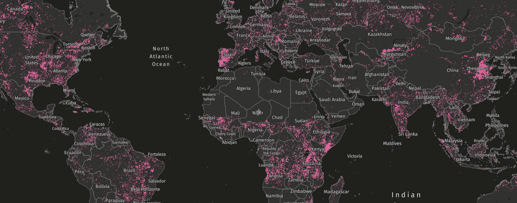
Tree cover loss due to fires visualized on the GFW map, 2001-2021
Aug 12, 2024|Data & Tools

Over Two Decades of Fire-Driven Loss in Exceptional Detail

Tree cover loss from fires data offers a higher-resolution look than ever before at trends in fire-driven loss over more than two decades.

Planet satellite imagery of primary forest removal in Kalimantan Barat, Indonesia on GFW map
Jul 23, 2024|Data & Tools|6 minutes

Looking for the Quickest Signal of Deforestation? Turn to GFW’s Integrated Alerts

GFW’s integrated deforestation alerts layer combines the analytical power of GLAD, GLAD-S2 and RADD deforestation alerts to provide a faster, more confident view of forest disturbances than any one individual system.

Net forest greenhouse gas flux 2001-2022
Apr 26, 2024|Data & Tools

What’s New With GFW’s Forest Carbon Monitoring

Carbon monitoring data on GFW provides information on where forests are gaining or losing carbon. We updated the model in 2023 and 2024.

Aerial footage of palm oil and the forest in Sentabai Village, West Kalimantan, 2017.
Apr 4, 2024|Data & Tools

Global Forest Watch’s 2023 Tree Cover Loss Data Explained

New data shows persistent primary forest loss in 2023. What does the data measure and how does it compare to other official estimates of deforestation?

Ripe Cocoa pods from a cocoa farm in Ghana.
Feb 14, 2024|Data & Tools

Ending Deforestation from Cocoa in West Africa with New Data-Driven Resources

Two new data-driven resources provide a shared view of priority areas in West Africa and can help realize a a deforestation-free cocoa sector.

Aerial view of the Amazon Rainforest
Jan 18, 2024|Data & Tools|8 minutes

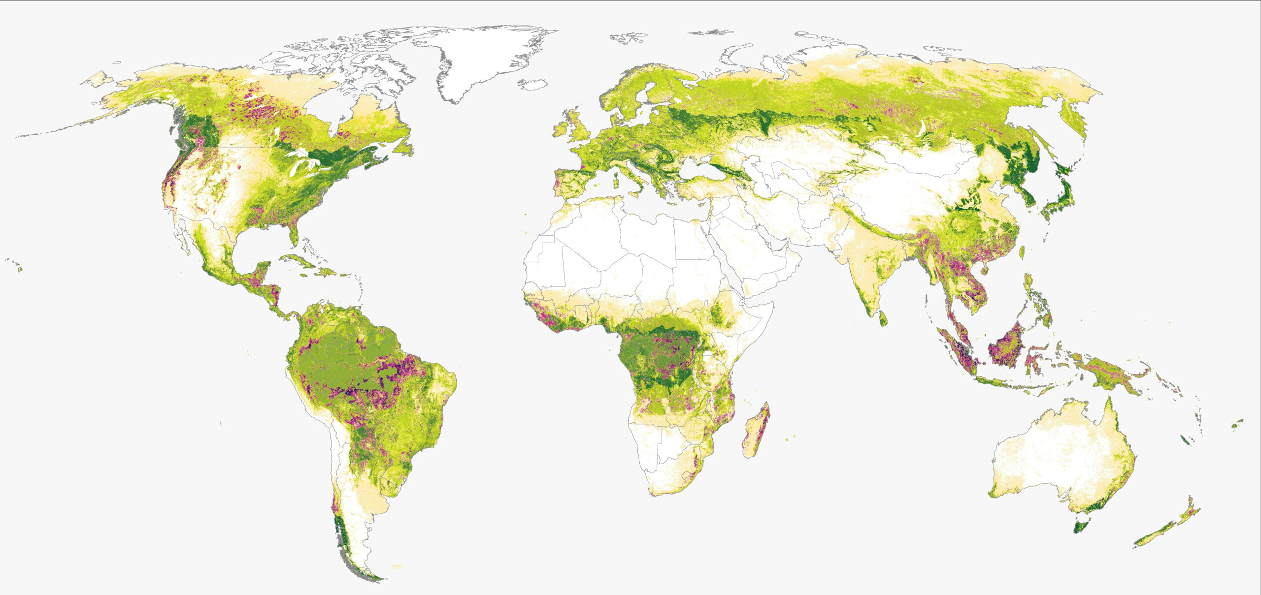
Comparing Forest Extent in 2020 from Global Forest Watch and the Forest Resources Assessment

This blog compares the forest extent in 2020 for data from UMD on GFW and the FAO Forest Resources Assessment and explains the differences.