PARTNER POST: New technologies engage local communities in conserving Cameroon’s highland rainforests
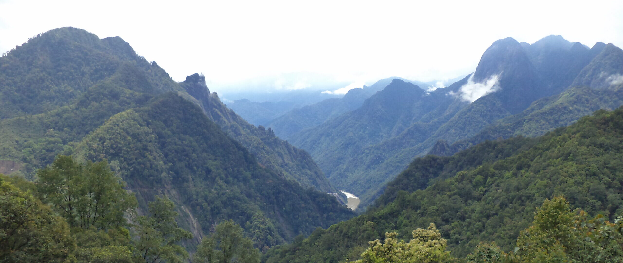
By Arend de Haas, African Conservation Foundation A former ice age refuge, the highland rainforests of southwest Cameroon are among the oldest forests and comprise the richest flora and fauna in continental tropical Africa. The area is one of the world’s most important biodiversity hotspots, encompassing high levels of endemism and endangered species such as the Cross River gorilla, Nigeria-Cameroon chimpanzees, as well as forest elephants. The forest is mostly community land with no formal protected status. The main drivers of deforestation and forest degradation in this part of Cameroon are forest conversion for agriculture—large scale (industrial) as well as subsistence (slash and burn) farming, wood harvesting, infrastructure development and illegal logging. Changes in local forest cover have huge impacts on ecosystem services such as watershed functions, provision of vital natural resources including food, medicines and fuel, maintenance of local climate, prevention of erosion, landslides and flooding, nutrient recycling, and sustaining local cultural heritage. People in this mountain area as well as those in downstream areas rely on these forests for their livelihoods and ultimately for their security and survival. The African Conservation Foundation, Environmental and Rural Development Foundation and community-based organizations are working together in this region to halt rainforest loss, while developing new livelihood opportunities with local people. Since 2004, we have been running a rainforest conservation program based on ground surveys, building up trust and collaboration with local communities. Much of the information on deforestation is hidden and often comes to light when it is already too late. There is a lack of data as well as government staff and resources to monitor the forests. The success and efficiency of our conservation activities could be greatly improved by access to up-to-date information that’s as close to real time as possible.
Embracing technologies to lower barriers
This is where tools like Global Forest Watch (GFW), Forest Watcher and Participatory 3-Dimensional Modeling (P3DM) come in. The satellite imagery-based GLAD (Global Land Analysis and Discovery) system on GFW detects tree cover loss on an annual and weekly basis, allowing for better understanding and monitoring of current threats to the forests in the otherwise difficult to access rugged terrain of the Cameroon Highlands. The data also maximize the efficiency and effectiveness of on-the-ground monitoring, law enforcement and forest policy interventions.
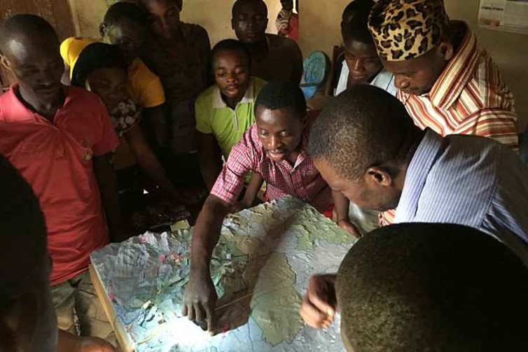
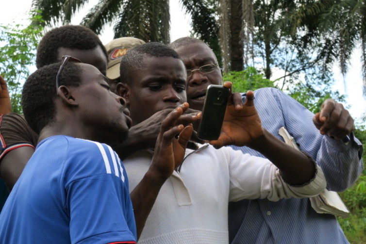
Forest Watcher brings GFW data offline and into the field where community members can groundtruth it. And P3DM is a 3-dimensional physical map created by community members using their knowledge of the local landscape. These technologies provide greater access to forest information for community members who are computer illiterate and/or in remote areas without electricity or internet.
 Source: African Conservation Foundation. Source: African Conservation Foundation.
Local engagement to protect natural heritage
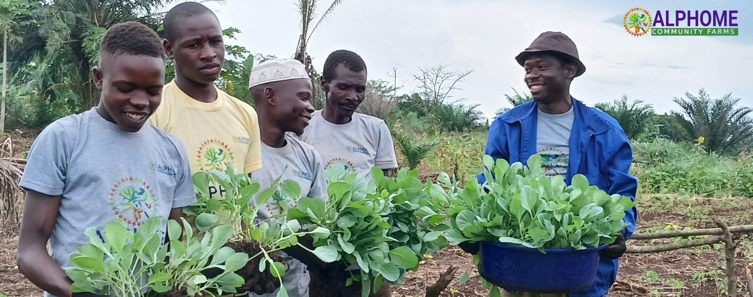
As a direct result of the project, local communities in the project area became more involved in the forest monitoring process. Community Forests established through this program empowered local stakeholders to take on a greater role in protecting their natural heritage. Community chiefs mobilized their villages and hundreds of people participated in forest mapping and planning activities with great interest. For example, the Egbemo community wanted to establish a community forest. They previously hosted a vente de coupes, a large plot of forest sold for resource extraction. Companies pay taxes on these plots to the central goverment, which partially get diverted to the village councils for development of their areas. But according to Egbemo Chief Tarh Frankline the forest was overexploited and the revenues did not flow to the community. “They [timber companies] exploited our forests and now we have nothing to show for, so we prefer to manage our forest resources ourselves.” We worked with the Egbemo community to map out two blocks for a proposed community forest, both of which were granted official protected status by the Ministry of Forests and Wildlife (MINFOF) in April 2017. For Egbemo and other communities, these technologies provided them with the tools and skills to strengthen their position in interactions and negotiations with other (local, divisional and international) stakeholders.
Preserving cultural heritage
Another challenge local communities face is losing knowledge of the elders as young people move to towns to find jobs. The P3DM component of the project was especially useful in recording this knowledge. The place-bound, historical knowledge of the elders about natural resources and cultural or sacred sites has never been documented in these communities. The elders used the 3D landscape model to provide information about traditional resource use, historical sites and for telling stories, which play an important part in the local culture. The communities were excited to be able to preserve their heritage.
Grassroots forest management
Community-based forest monitoring using Glad Alerts, Forest Watcher and P3DM has great potential to complement remote sensing systems and engages local people in active forest guardianship, while delivering livelihood and conservation benefits. In all, 200 members of forest adjacent communities, 3 government officials and 7 project staff now have the skills and capacity to generate spatially defined geo-referenced data through a participatory process. With the knowledge gained from GFW, Forest Watcher and P3DM, project staff, government officials and community members now have a better understanding of why and how the forest is disappearing so that they can take concrete management actions. This will enable more effective forest management while addressing immediate threats to critically endangered wildlife species.