- Users In Action
PARTNER POST: Sur Verde Adaptive Monitoring: Mitigation and Adaptation in Calakmul, Campeche
The Reforestamos Mexico GFW Contest recently recognized Sur Verde’s innovative use of the Global Forest Watch platform in finding solutions to socioenvironmental issues. Learn more about the contests here.
The United Nations’ Sustainable Development Goal 15 provides a framework towards efforts to sustainably manage forests, combat desertification, halt and reverse land degradation and halt biodiversity loss. One of the major road blocks in achieving this goal is not availability of the necessary resources, but instead the inability to measure and monitor progress. How do we know if deforestation is truly decreasing, or if the well-being of a community is increasing?
As an organization that works to build local capacities for sustainable development within marginalized communities of southern Mexico, we at Sur Verde recognized that to enable meaningful action, policy makers, scientists and researchers must understand the conditions on the ground for both communities and the environment they depend on. In the search for solutions, we discovered Global Forest Watch (GFW) and found that the interactive nature of the platform could help actors better evaluate and assess the progress of their goals.
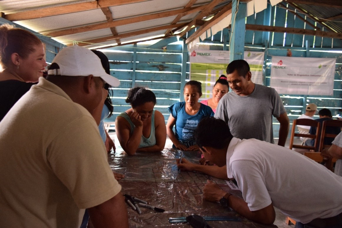
We chose to begin our monitoring project using GFW in the Calakmul Biosphere Reserve because it is one of the largest and most well preserved tropical forests in Mexico; recently added to UNESCO’s list of World Heritage Sites. In the first phase of the project, we focused on the collection of data relevant to conservation, sustainable management, climate change mitigation and community well-being. We collected baseline data on environmental indicators such as change in forest cover, drivers of change, priority habitat identification and biodiversity analysis. By hosting workshops in thirty-two ejidos (community territories) within Calakmul reserve, we also gathered information on social and political indicators like public policies that affect the region and the well-being of the communities as well as information on their cultural and political heterogeneity.
During the second phase of the project, we combined the data we collected with data that is already available on GFW and used MapBuilder to create a system for monitoring biodiversity and carbon sinks and measuring the impact of the project on local livelihoods. With ArcGIS Online, we embedded our personalized MapBuilder maps on our website, surverde.org making them an accessible to policymakers and the public. The ability to post maps directly to our website enables stakeholders to see the social and environmental impact that Sur Verde’s projects are having in the region.
The government of Campeche shares our objective of developing a system to monitor biodiversity, so we held a training for officials to learn to use the tools. The government has already begun to use GFW to monitor deforestation, particularly to monitor areas in which logging permits have not been issued and areas that are home to endangered species like jaguars, tapirs and white-lipped peccaries.
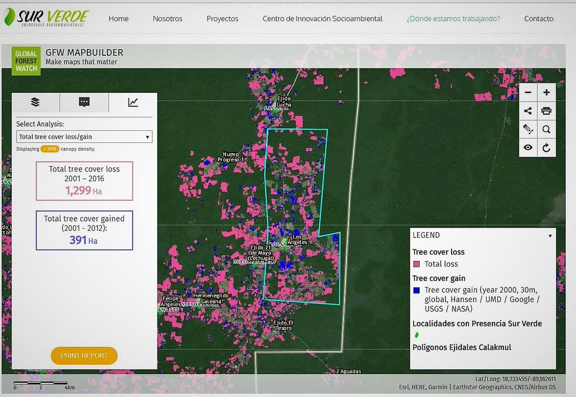 Sur Verde’s biodiversity monitoring system, created with GFW’s mapbuilder.
With our monitoring system in place we have also begun using the GFW platform to identify communities that might be interested in participating in restoration projects. MapBuilder enables us to overlay GFW data on community land holdings with the Mexican government’s data layer for areas with restoration potential. With this information we can identify appropriate communities within reserve and surrounding areas. The recently elected government has announced a new one million hectares reforestation plan and we hope that through our continued use of GFW we will be able to target areas and communities that could really benefit from increased government support.
Sur Verde is at the intersection of human well-being and environmental conservation, and we hope to continue finding ways to strengthen our own work using open data and technology.
BANNER PHOTO: Sur Verde.
