Triumphs and Challenges of Using Deforestation Alerts in Peru
In 2016, Global Forest Watch (GFW) and the University of Maryland released the world’s most detailed satellite-based deforestation alerts. Since the launch, the GLAD alert system has expanded from just three countries to the entire tropical region and is accessed by hundreds of thousands of users through GFW.
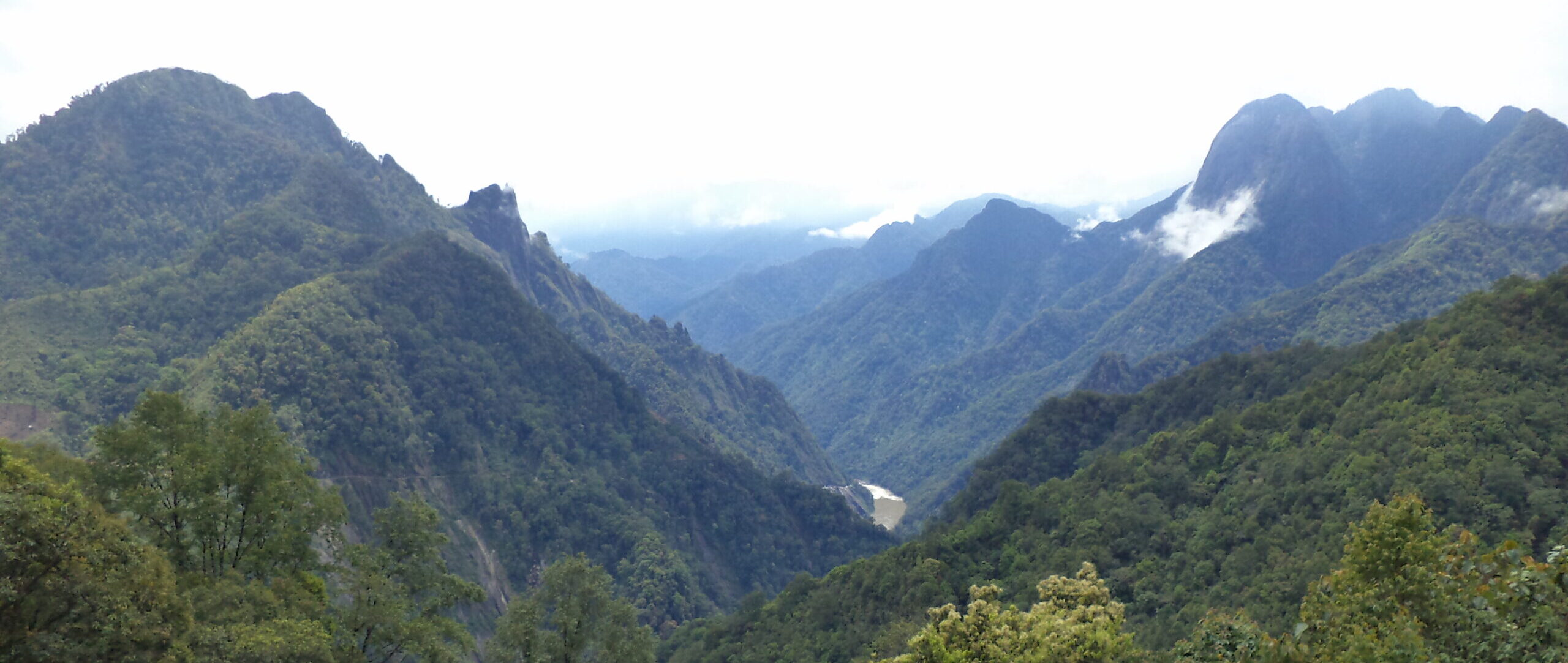
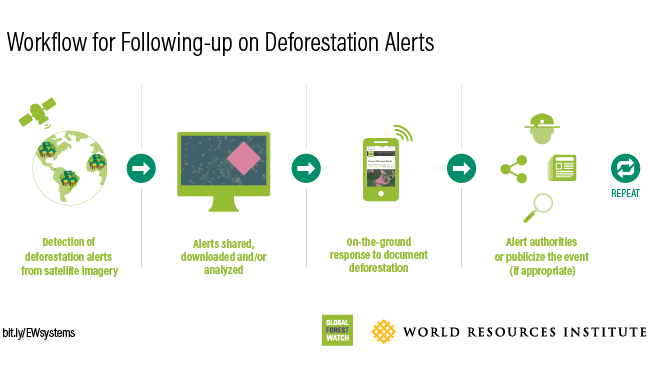
GLAD deforestation alerts are detected using new Landsat satellite images, identifying likely areas of forest loss at a 30-meter resolution. The purpose of these alerts is to notify on-the-ground actors of potential deforestation as quickly as possible, so they can respond before things get worse. Although the alert technology has improved over the last several years, little research has been done on the practical application of the alerts— how they are used, which organizations are using them, and what opportunities and barriers aid or inhibit their use. To answer these questions, GFW conducted a case study in Peru, one of the original countries where GLAD alerts were first released. Here are some of the key takeaways:
Deforestation alerts have a diverse range of uses
Use of deforestation alerts in Peru largely falls into five categories:

- Managing protected areas: Organizations like the Peruvian Protected Areas Service (SERNANP) use deforestation alerts to monitor forests across the protected areas system and allocate resources where most needed. Managers of individual protected areas use deforestation alerts to identify threats, prioritize patrolling activities and coordinate actions with local stakeholders.
- Investigating illegal activity: Authorities like the Environmental Prosecutor’s Office (FEMA) use deforestation alerts to identify potential illegal activity and confirm other evidence in legal cases.
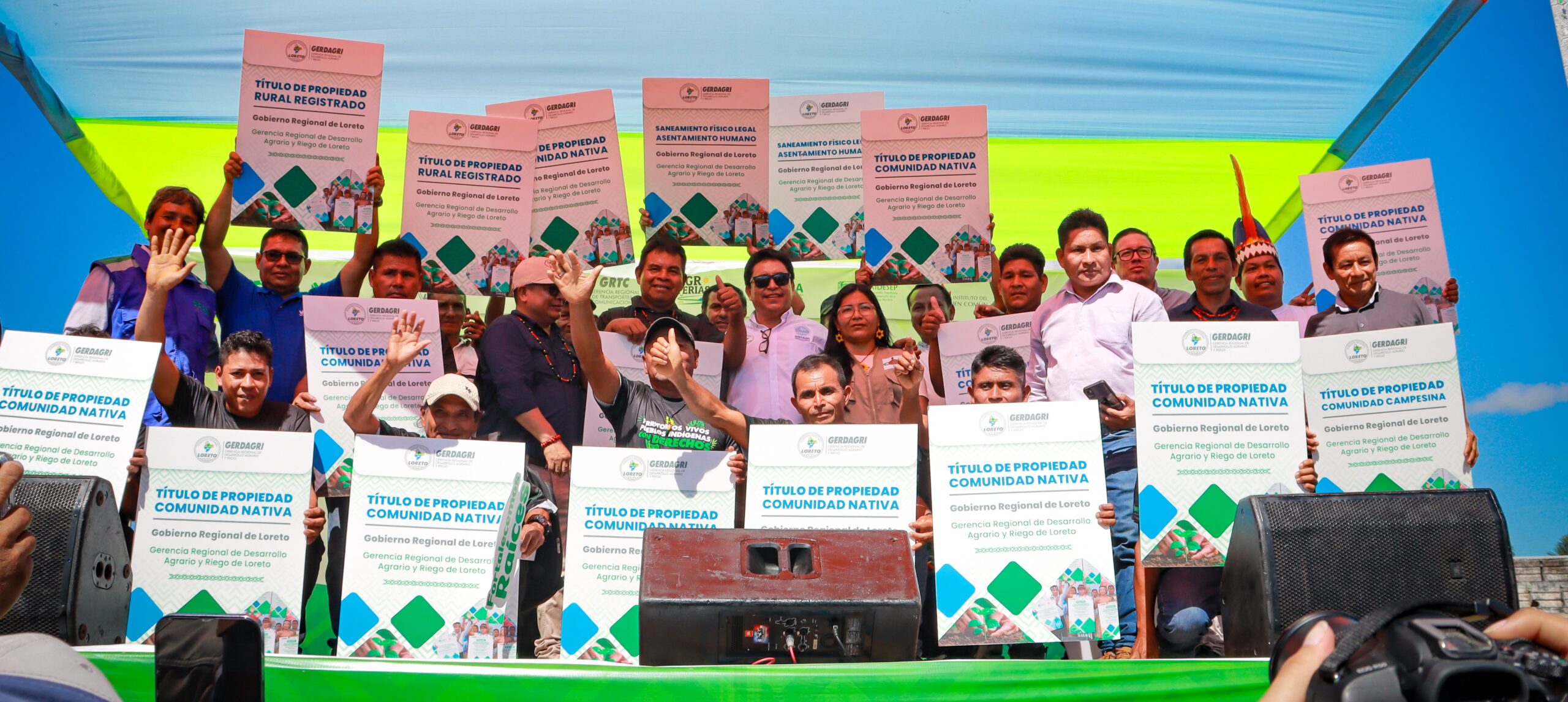
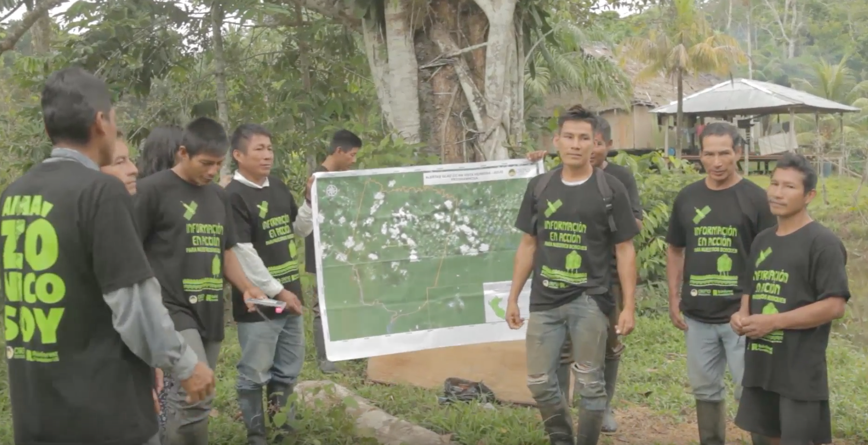
- Asserting land rights: Indigenous communities like Nuevo Saposoa and Patria Nueva use deforestation alerts to find potential invasions to their territories and plan patrols and follow-up investigations by the authorities.
- Enforcing conservation agreements: The forest oversight agency (OSINFOR) implements a program in which communities pay fines for forest management violations by conserving a portion of their forests. They use deforestation alerts to identify conservation areas and monitor compliance with the commitments.
- Raising public awareness: Groups like Amazon Conservation use deforestation alerts to publish online reports about recent deforestation in the Peruvian Amazon in order to raise public awareness.
The biggest barriers are related to governance
Although there are technical setbacks to use of the alerts — delays in detection due to cloud cover, detection of naturally-occurring change and false positives in dry forest— the biggest obstacles were not issues of technology.
Many users faced difficulties reaching remote areas of deforestation detected by the alerts due to a lack of budget or a lack of staff, even within law enforcement agencies. Others sited uncertainly over which agency was supposed to respond to illegal deforestation, or difficulty coordinating between government agencies. Still others claimed that the authorities that were supposed to take action were corrupt.
Agencies that built the alerts into institutional workflows seemed to have the most success applying them to their work. Successful processes included further analysis to identify priority alerts and deforestation drivers, on-the-ground investigation of the alert and communication of the investigation findings to the relevant authorities or the public.
GFW and others are investing significant time and resources to improve the alert data and its delivery, but this is an important reminder that significant challenges remain even in a world with perfect data.
Lessons for other countries
The success of deforestation alerts in Peru can be attributed in part to their adoption by the Ministry of the Environment, lending them credibility and legitimacy. Peru also benefits from a high technical capacity across both government and civil society, making it easier to for organizations to access and analyze alert data. Finally, civil society organizations in Peru act as intermediaries, assisting local landholders as they learn to use deforestation alerts. Groups like the Rainforest Foundation US and Amazonicos por la Amazonia make the alerts accessible to communities and concessionaires (e.g. by printing them on maps) and training landholders to organize patrols and collect field evidence.
This experience in Peru suggests a few lessons for applying deforestation alerts effectively in other countries:
- Early buy-in by a small number of influential adopters can help promote deforestation alerts.
- Building deforestation alerts into existing platforms and protocols makes it more likely that these alerts will be used effectively.
- Proactive training and capacity building are essential.
- Areas with clear land zoning and agency responsibilities are low-hanging fruit for the application of deforestation alerts.
- Agencies using deforestation alerts need adequate financial support for field visits and control activities.
- Public pressure around recent deforestation alerts can encourage effective law enforcement.