Story Map: Emerging Hot Spots of Forest Loss
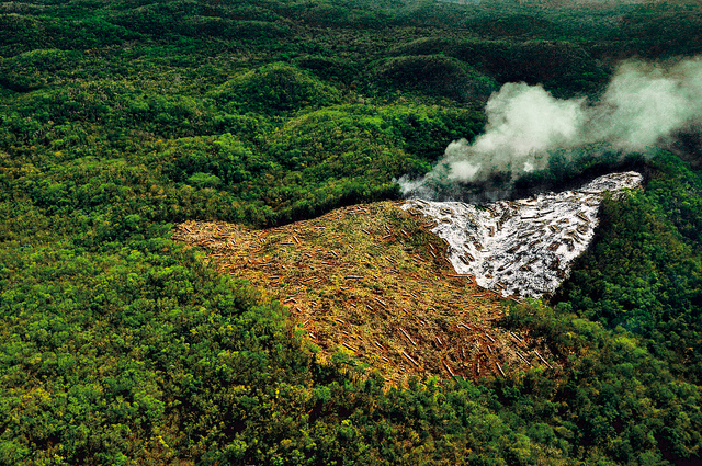
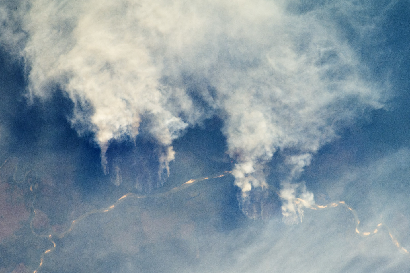
By Liz Goldman, Susan Minnemeyer and Nancy Harris Data on Global Forest Watch like University of Maryland’s 30×30 meter resolution GLAD tree cover loss data and weekly deforestation alerts make near real-time forest monitoring a reality. Forest managers, law enforcement officials and policy makers can use this information to track how forests fare in areas under such policies and find deforestation while there’s still time to make a difference. But as more forest loss data become available, our ability to comb through it to find patterns and actionable insights in a timely manner becomes more difficult. The interactive story map below takes a deep look at the new Emerging Hot Spot Analysis tool that helps find those patterns in the sea of data more quickly. You can also view the story map in a separate window. View the story map in a separate window.