The Next Generation of Grantees: Introducing the 2026–2027 Small Grants Fund Recipients
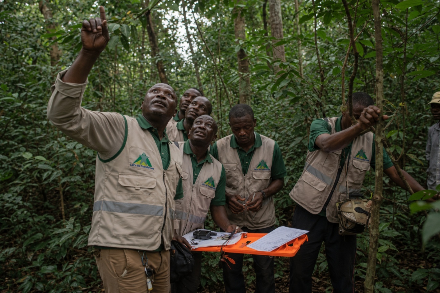
CREDIT: Let’s Be Transformed (MAGUFINA)
Over the last 12 years, Global Nature Watch (GNW, formerly Global Forest Watch), has partnered with 100 organizations and distributed an estimated $5 million in funding for forest protection projects in over 30 countries through the Small Grants Fund (SGF). Through these projects, over 872 million hectares of forests have been monitored and protected by community-led efforts. In addition, 11,000 people have been trained in the latest forest monitoring technologies and over 1600 knowledge products — such as policy briefs, training materials, reports and articles — have been created, extending the projects’ impacts well beyond the life of each grant.
As GFW becomes GNW, SGF grantees are more important than ever in informing our strategy and ensuring that these developments benefit communities using our tools in the field.
Following an exceptionally competitive application process, we are proud to welcome the 2026-2027 cohort of SGF grantees, a diverse group of civil society organizations who will use these tools to better protect the forests they know best. We will also be working closely with this cohort to test and provide feedback on GNW Horizon, our new AI-powered monitoring platform currently in preview.
Learn more about the projects of the 11th cohort of the Small Grants Fund:
Strengthening community-led responses to illegal deforestation and encroachment on Indigenous lands
Independent data and evidence, such as GNW data and satellite imagery, can be important tools to improve detection, prevention and prosecution of illegal activities that compromise protected areas and Indigenous lands. Communities protecting these forests are on the frontlines, often facing threats, harassment, criminalization and even violence. Using satellite-based tools and data remotely is one way these communities can minimize risk while investigating what is happening on their lands. The following four grantees will work at the community level to strengthen forest governance and support forest defenders.
Tu Amazonia (Ecuador) has acted as a strategic partner of the Waorani Nation of Ecuador (NAWE) since 2024, providing technical and administrative support to address environmental, territorial and social threats. The NAWE established the Kengiwe Territorial Monitoring Program in its 2021 Statute as its operational arm for territorial monitoring, which is crucial to protecting the territory against illegal extractive activities. With the support of Tu Amazonia, they were chosen to receive the SGF grant to guarantee the integrity and security of the territory of the Waorani Nation, as well as the Indigenous Peoples Isolation and Recent Contact (PIACI), which include Yasuní National Park and the Yasuní Biosphere Reserve.
The project will strengthen the capacity of the Kengiwe program to use GNW tools to detect and respond rapidly to unwanted activities, and run a campaign to draw attention to the impacts of mining and other activities on Waoroni land. They will also work with a multidisciplinary team to develop a response roadmap according to threat categories.
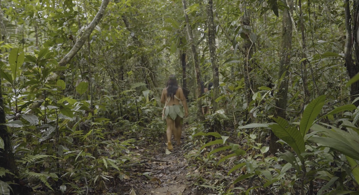
Let’s Be Transformed (MAGUFINA) (Democratic Republic of the Congo, or DRC) will work in DRC’s Mai-Ndombe and Équateur provinces, which lost almost 80,000 hectares of forest in 2024. Over the past three years, MAGUFINA trained community monitors who documented illegal logging camps and unauthorized mining across 450,000 hectares of Indigenous lands. This work revealed a critical enforcement gap: only 4 of 40 documented cases resulted in prosecutions.
This project addresses this gap by integrating GNW near-real-time tools with legal evidence training and formalized community-law enforcement coordination across six Indigenous territories, transforming satellite monitoring data into coordinated community-enforcement action. MAGUFINA will take an integrated approach by training community monitors to use the Forest Watcher mobile app to investigate threats; training police officers and prosecutors in interpreting satellite evidence as legally admissible evidence; and creating a monitoring dashboard using MapBuilder to integrate GNW alerts with concession data and community field reports to publicly expose illegal operations.
Corporación Ecopar (Ecuador), in partnership with technical partner VerdecanandéSA, will work with the Achuar community of Kupatas to address emerging threats to forest conservation. The Kupatas community territory encompasses over 48,000 hectares of mostly intact primary forest and is home to 700 members of the Achuar community. A new road was recently built from the city of Puyo to the edge of the Kupatas forest, threatening their territorial sovereignty and has already resulted in forest loss and conversion for agriculture.
The project will use remote sensing tools to support Achuar communities in implementing conservation governance to limit the impact of new roads in their territory. An important part of the project is working with community members to create a participatory zoning map of the entire territory to define community uses of the land. Community monitors will then be trained on GNW near-real-time alerts to identify illegal deforestation and degradation. Additionally, using GNW’s forest carbon maps and local carbon values from established permanent plots, the project will create carbon values to be shared with the Ministry of the Environment of Ecuador and the REDD+ program for entering ecosystem services markets.
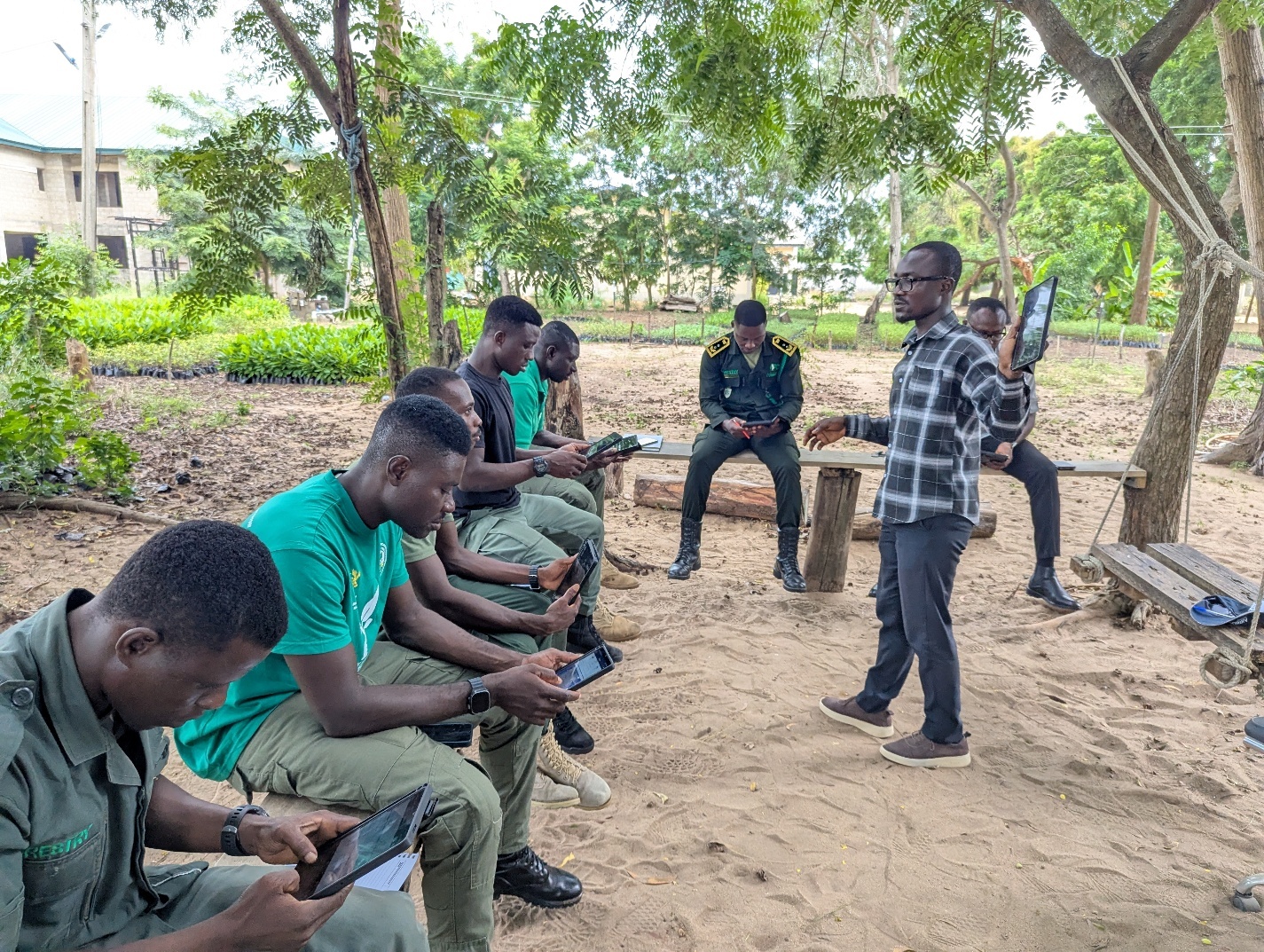
Centre for Remote Sensing and Geographic Information Services (CERSGIS) (Ghana) will work in the Atewa Rand Forest Reserve, one of Ghana’s most ecologically significant landscapes, which is facing escalating pressures from illegal logging, agricultural encroachment, road expansion and mining-related activities. This includes bauxite mining, which involves extensive forest and soil clearing that destroys habitats so completely that they cannot regenerate.
CERSGIS’ project will establish a near-real-time monitoring system to detect illegal land-use changes within Atewa by visualizing the data through a customized MapBuilder map and generating spatially explicit evidence to support enforcement, policy dialogue and conservation planning. Through training community members, forest guards and local NGOs to interpret GNW alert data, verify incidents and report illegal activities, the project will increase reporting frequency, accuracy and response time.
Integrating global data with local systems and tools
Transparent, independent global data, such as from GNW, serves an important purpose in revealing what is happening to the world’s forests. This global data helps support local actors by complementing national data, systems, tools and networks. SGF grantees are experts in their regions and have a strong understanding of local contexts and processes. The impact of global data is unlocked when grantees apply their local expertise to its use and application. The following four grantees demonstrate this powerful combination and show us how GNW tools and data can be applied strategically and locally.
Associação InfoAmazonia (Brazil) will integrate data from GNW with their Gold Monitor platform, a tool that combines relevant records to track gold mining, a major driver of deforestation and forest degradation in the Brazilian Amazon that impacts protected areas, rivers and Indigenous territories. Although public data exists, responses to deforestation and degradation are often slow because the gold supply chain can appear legitimate, but permits, invoices and administrative records do not always reflect the true extraction site, creating risks of “origin laundering.”
The Gold Monitor pulls from public datasets to compare “what is declared” and “what is observed” on the ground and generates a prioritized list of what to investigate first. GNW data including integrated alerts, recent imagery and contextual datasets such as protected areas, Indigenous lands and other relevant territorial context will be incorporated as a standard layer for exploration, validation and context. This makes the workflow more decision-ready by combining administrative and economic indicators from the gold supply chain with visual evidence and comparable forest context.
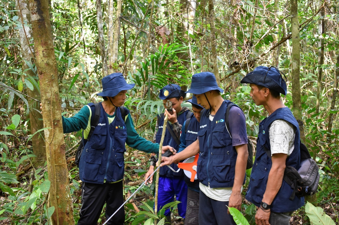
Yayasan Pusat Informasi Lingkungan Indonesia (PILI) (Indonesia) will work with the community-managed forest permit area, HKm Beganak in Sekadau, West Kalimantan to turn routine patrols into an alert-driven monitoring and enforcement support system co-implemented by the Sekadu District KPH (Forest Management Unit). Currently, the community patrol team conducts routine, largely schedule-based patrols that may miss new threats, as well as facing illegal and unplanned land clearing and hunting.
The project will run weekly alert triage for the HKm permit boundary and other prioritized hotspots, verifying priority alerts through field patrols and producing standardized evidence packages to submit official evidence reports to the KPH. For improved follow-up and coordination, the team will also develop a shared case tracker and run monthly workflow reviews to refine processes. By implementing these activities, the project will generate faster detection and higher-quality documentation of forest threats, leading to more timely investigations and actions by the KPH.
Fundación para la Libertad de Prensa (FLIP) (Colombia) will work closely with their Consontante initiative, a network made up of 20 local journalists that aims to address information gaps in municipalities with underrepresented communities in Colombia. Through this project, Consonante will develop investigative and solutions-based environmental journalism in the departments of Chocó, Caquetá, Guainia and Amazonas — strategic territories for forest conservation in Colombia, which are experiencing intense extractive pressures, illegal economies and armed conflict.
The project will strengthen the technical and editorial capacities of these local journalists to combine GNW data with local knowledge to produce in-depth, territorially focused journalistic investigations that explain how the forest is being transformed in key regions of the Colombian Pacific and Amazon, including the social, cultural and environmental impacts of these changes. They will also create spaces for dialogue where their findings are shared with communities, local authorities and social organizations, making environmental information accessible in areas where data access is often limited.
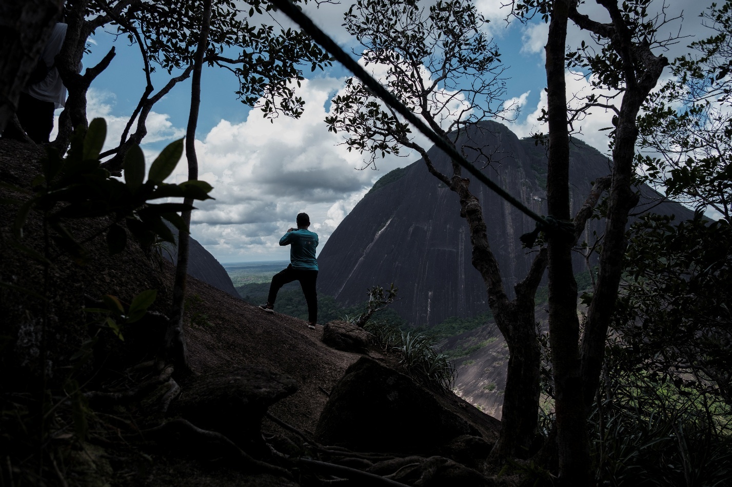
Green Development Advocates (GDA) (Cameroon) will focus on the Dja Biosphere Reserve, a UNESCO World Heritage Site recognized for its exceptional biodiversity, to reduce legal and illegal deforestation linked to the cocoa supply chain around the reserve. The cocoa sector has experienced a period of growth in recent years, marked by historically high prices, which has led to a rapid expansion of cultivated areas in Cameroon. The project addresses the interconnected challenges of sustainable cocoa production, forest preservation and compliance with the EU Deforestation Regulation (EUDR).
GDA will assess deforestation risk from cocoa plantations by integrating GNW data with their Cocoa Deforestation Monitor platform to investigate deforestation alerts around the Dja Reserve. They will train cocoa cooperative managers and forest rangers to geolocate cocoa plantations and identify producers that have high deforestation risk. These producers will receive technical support to adopt sustainable and deforestation-free farming practices. The project will also provide training for cocoa companies in deforestation risk analysis and will support these companies in developing internal risk mitigation plans, strengthening the traceability and sustainability of their supply chains.
Investigating the environmental impacts of Cyclone Senyar in Indonesia
In November 2025, Tropical Cyclone Senyar, an exceptionally rare and catastrophic tropical cyclone, caused widespread flooding and landslides in the Malay Peninsula and Indonesia across Aceh, North Sumatra and West Sumatra. Shortly after these disasters, media circulated widely showing rivers clogged with timber, fueling public suspicion that illegal logging and upstream forest clearing had intensified the disaster. Two grantees will investigate the effect that deforestation and weakened watershed functions had on increasing the damage and subsequent natural disasters of the Cyclone.
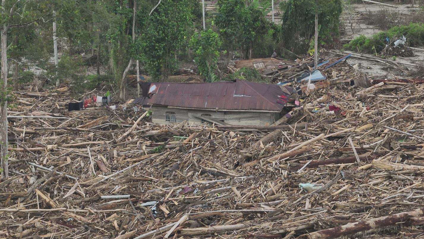
HAkA (Indonesia) seeks to strengthen environmental accountability in Aceh following Cyclone Senyar. The project will focus on watersheds that were among the most severely affected during the floods — the Tamiang and Jambo Aye river basins — as well as other forest-risk hotspots such as East Aceh and Bener Meriah, where illegal logging and forest conversion have repeatedly occurred.
This project will equip journalists working in these areas to interpret GNW’s near-real-time deforestation alerts, overlay concession and protected-area data and assess whether forest clearing has occurred in riparian buffers, conservation zones or under Indonesia’s forest-clearing moratorium. Findings from these investigations will be released in high-impact publications. HAkA will also collaborate with civil society organizations to synthesize evidence into policy briefs and legal dossiers for submission to enforcement agencies and provincial authorities.
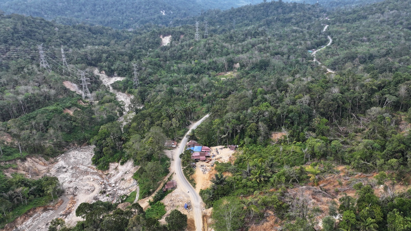
Yayasan Ekosistem Lestari (YEL) (Indonesia), a founding partner of the Sumatran Orangutan Conservation Programme, has been actively monitoring and protecting the Batang Toru Ecosystem (BTE) since 2005. The BTE faces escalating threats from deforestation, habitat fragmentation and climate-inducted disaster risks. It is the only known habitat of the critically endangered Tapanuli Orangutan and is a Key Biodiversity Area.The BTE’s delicate ecosystem balance was severely disrupted byCyclone Senyar.
This project will establish an integrated forest monitoring and enforcement system in the BTE by combining GNW’s near-real-time alerts with Spatial Monitoring and Reporting (SMART) patrol field documentation. A core component of the project is the assessment of carbon loss associated with flash floods and landslides caused by Cyclone Senyar that resulted in forest damage and soil erosion. The project will generate evidence-based estimates of post-disaster carbon loss, contributing to improved understanding of climate impacts in forested watersheds and strengthening the case for forest conservation as a climate mitigation and adaptation measure.
Learn more about this year’s Small Grants Fund recipients here.